Harper Creep Falls

Harper Creep Falls
Harper Creek Falls

Sunday, February 18, 2024

Cliffs and Caves

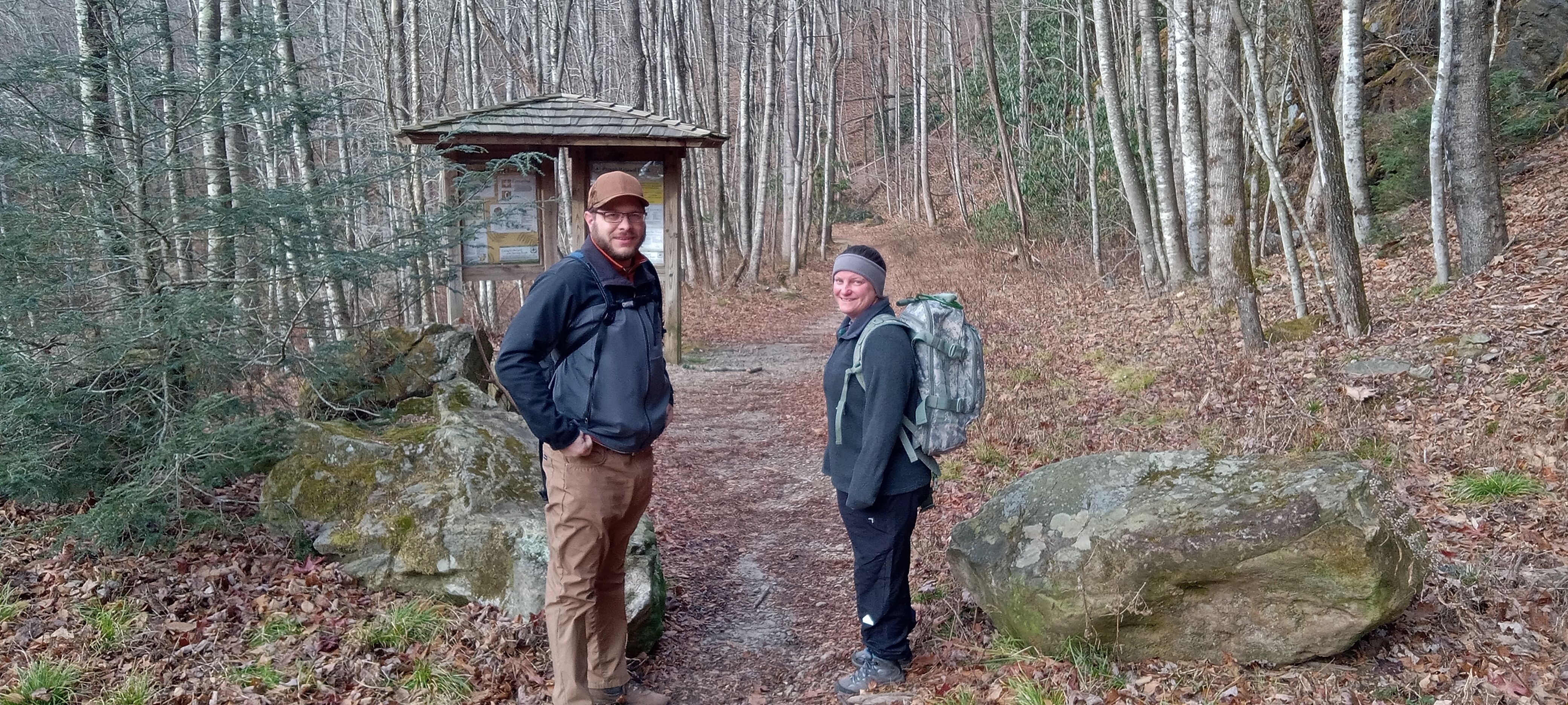
The Ewing Trail begins at Thomas Walker Civic Park. You can discern from the bundling, that the day was quite chilly.


Given the large cliffs above, it is actually quite surprising that there are not more boulders downslope. However, the one large one had a very curious pattern and color on one flank. It has a significant iron deposit.


We ran into a snowline from the night before. Evidence in the valley suggested that it had rained most of the night and only early had it snow a bit. Here, though light, it seems to have been all snow.


Walking up the mountain caused very little trouble staying warm, but on the ridgeline, evidenced by snow stuck to the NW side of branches, the wind along with the lack of slope to walk made for difficulty staying warm.


White Rocks shone in the sun for just moments, and I caught the tail end of the shine.


The trail switch backed up the ridge for reasons of erosion but also in order to snake between the cliffs.


Bro and Sis stand in the breach for a picture, too.


Not being one to be left out, so did I.


The pitting in the rock, algae and moss, and ice cycles produced an eerie face.


I would guess that the cliffs are 150' tall at this point. Later, on the drive home, I noticed that the cliff runs unbroken for at least two miles to the NE. The ridge and valley system of SW Virginia and E Tennessee lay before us. The breeze abated and the sun peeked out of the broken overcast intermittently to allow a respite, contemplative views, and needed snack.


The next four photos are my "panoramic view" from NE around to the E to the SW. The sandstone caprock was curiously pitted and gapped by more erosion ready rock. Where is the talus and boulder field. Was it predominantly limestone that dissolved?


I think that the hint of virga under the clouds is snow, showers of which we experienced intermittently throughout the hike.


There was no doubt about which way the snow came from.


Later in the trip the brother/sister combo bushwhacked a short distance off trail to the top of yon knob to make contact with seven radio operators, establishing a "Peak in the Air", as the radio hobbyist call them.


A friendly hiker exchanged photography favors with us. We almost stayed to long, since the breeze kicked back up and we struggled to rewarm ourselves. I got in a good conversation with one of the hikers about tree conservation and creation.


I do like hiking and showing friends new places.


The Sand Cave was our second destination in the NE corner of Cumberland Gap National Historic Park. It is made of such a soft variety of sandstone as to be easily eroded. As is common shallow-soiled sandstone caps, waterfalls are event oriented, a mere drip or a roaring cataract.


Notice in several of the following pictures how walkers are leaning forward. Other than that, the pictures do not easily give away how steep the sand dune floor of the cave is.


The cave is perhaps 250' long along the cliff and up to 100' deep with several alcoves as you see here.


The snow rendered further contrast to the cave.


The roof of the overhang slants downward toward the entrance at about an equal slope the floor, but I assure you that it is steep coming up to the back.


This little overhang within the overhang is the furthest point into the cave. I must admit that I have a bit of a difficulty calling it a cave, though technically it is. To my mind a cave closes in and is totally dark inside. The mouth here is smaller than the room though.


My hiking partner gave evidence all day that the temperature was below freezing. The rhododendron leaves agreed, being hung down and curled.


The day begun with a group Bible Study, continued with an 5 1/2 hour, eight mile hike with 3 hours roundtrip driving, and ended with a Navy Band concert for my wife and me. It was a full and memorable day for which I am thankful to my Creator and Lord and from which I took a nap today. The crowd was near capacity when they began.


Friday, January 19, 2024

Old Backpacking Memories

 Everything about the scene brings back multiple memories. The young men on either side of me are 4 or 5 years older than me, more experienced at backpacking and most everything else, too. The location is Carver's Gap, just below Roan Mountain on the Appalachian Trail, my most frequented section of trail overall. Yeah, I lost count somewhere above 25 times I had been on part or all of this 13.5-mile section that includes the Yellow Mtn Gap of Overmountain Men Revolutionary War fame, Grassy and Jane Balds, Hump Mtn (5587' with 360-degree unobstructed views), Bradley Gap and spring for excellent tent camping, and Yellow Mtn Gap Shelter (i.e. barn). The gap now has a wooden split rail fence, paved parking lot across the road that is crowded on weekends, and a graveled and graded switched back trail up through the woods to the top of Grassy Bald unlike the straight up eroded one you see here. And look at that sign. They don't make them of that quality now. This was nearly the beginning of my association with my backpacking partner on the right of the picture. Looking hardly old enough to be more than halfway through high school, I am excited and full of vigor and green as all get out. I have the same pack as my partner. I sport my new Bass double insulated hiking boots all shiny with Snow Seal wax. I wear my Fostline gaiters for mud that I sewed myself on my mother's machine. We all make the mistake of wearing cotton pants, their jeans and my gray corduroys folding awkwardly on my bowed legs, that block no wind and retain all moisture. I have my recently purchased, used purple plaid, heavy wool shirt that I still have to this day. Growing up in Knoxville, I have a Volunteer Orange and White cap that probably poorly kept my head warm. The leather gloves would have been worse for a soul whose hands just don't circulate blood well. I remedied that soon with wool liners and cotton lined, leather mitts. The picture doesn't well reveal it, but I have a beard of sorts, really a goatee and thin mustache because I could grow no more. My classmates in high school thought of me as confident but I well hid my deep feelings of inadequacy and bouts with depression. I loved everything outdoors and challenging to the body. My wife who was about 6 years future of this picture once said that God made me poor to keep me out of trouble. I probably would have gotten involved in some pretty wild outdoor pursuits given the money. I settled for a pack, a steep grade, hill and draw, woods and fields, trees and flowers, creeks and peaks, cold and heat, sun and rain and snow, minimal food and hard sleeping, quiet company or walking alone, and I called it fun and a hobby. The scene is probably late winter with patches of snow and dead grass tops. Wind sculpted Red Spruce and Balsam Fir outline the ridge with naked deciduous brush all down the flanks. The wilderness in general has a melancholy feel, all the more in the winter. The temperature and wind chill are only ameliorated by the bright sunshine. It feels like a good day for a hike!


God has been good to me to allow me to start early and continue hiking these nearly 50 years. I still go at it hard and may get to go overnight again one day soon.


Monday, December 25, 2023

6001' Shining Rock

The Parkway was closed, so we came back down slope to Shining Creek to start our nine mile hike up to Shining Rock. The weather was cool and damp, but no rain to start off.


I told my daughter that this trail was old-fashioned, no switchbacks, just attack the mountain side head on. The peak is called Old Butt Knob.


You know, of course, that there is a difference in level and flat. A vertical wall can be flat, but it is certainly not level. This difference can sometimes cause you to see a flat but steep slope as level. The trees probably give it away and my daughters seeming lean forward might if she was close enough to see well. This slope is quite steep and quite flat. Much of this trail was steep and rough, sometimes with step-ups as high as your hips.


While resting along this upslope, I spied a curious root on a rhododendron that seemed to be squeezing out the base of the bush. It also was decorated with a rattlesnake plantain brooch.


There was quite a bit of the greenery covering the forest floor largely hidden by the season's leaf fall.


Seriously, the trail was steep.


There are many benefits to hiking in the winter. One is the views even on forested slopes. The dendritic drainage patterns of these folded mountains remind us of extreme upheaval and wear down, in a word, the Flood.


A small rock outcropping here and there opens up the surrounding landscape to view. The hand on the sapling is not just a pose, it's a safety factor atop a small cliff.


So much to see. I would guess we were coming up the south slope from the abundance of pine trees that tolerate the baking sun of summer drought.


Were you planted in a crack in the rock? Show your stuff anyway. It will shine all the more in the midst of the stony surroundings.


Now we are looking down on the ridges and the trees and bushes are looking more high elevation.


This sapling appears to have been abused by antlers. I guess he was marking his territory.


'At over 5000' now, Spruce trees begin to appear with Galax patches.


Bearly missed the owner of this fur I'd say. (1)


At around 5500' the snow went from widely scattered patches to nearly continuous in the less than fully sunlit places.


This is not ground cedar but it does grow in vines along the ground. Is it ground fir?


Nearing the top! There are no sharp peaks up here. It feels like it was once a large, gently sloped field.


Shining Rock is a curious outcropping of quartzite. The outcropping is perhaps several acres in extent and juts up 25 feet on one side, but I see no evidence of this rock type beyond a few boulders that have rolled off of the cliffs. I wonder if it shone in the sunlight in years past after the top had been logged. It is surrounded by trees and bushes and mostly covered with lichen, not really all that shining now.


And on this particular day there was variable fog and drizzle with some occasional light rain.


There is a certain quiet, solitude, and peacefulness coupled with melancholy to foggy forest and brushland.


Add a stiff little breeze with damp air and lack of sunshine and you want to keep moving.


My son-in-law surveys the high country.


Seed spikes of the ground evergreen vine


Our hike to Shining Rock and back would be nine miles, but we had gained the ridge which was significantly level. So, I convinced my daughter to hike out an extra 1.5 miles (3 miles roundtrip) to bag another peak. It was actually somewhat difficult to discern the peak since the ground sloped so little. Between the GPS and a small boulder we found, we feel confident that we found the top.


I didn't even notice how red the branches of these leaf naked bushes were when I was there.


On the return trip I stopped to record the cliff side of the Shining Rock.


It is unique and seemingly unparalleled on this ridge.


By the time we reached the car, it was nearing dark on this winter day. 12 miles and weary, we shed our wet boots and coats for the warmth of my car. Conversation, shared experience, the subtle beauty we observed, and making another step toward the goal were reason enough to challenge our bodies. God has so blessed us to be able to do such things.

1. Just goes to show you how useless grammar check is when you really need it.