After traveling an hour over the gravel road from the entrance gate to Nesowadnehunk Campground, setting up for the night, eating supper, and conversing with the attendant ranger about hiking Katahdin, I settled down just after 10 PM. Upon that ranger's advice concerning the heat the next day, I determined to be on the trail early. Being two days before Summer Solstice, I knew it gets light early this far north. I arose a 4 AM with good light, ate breakfast and departed for a 45 minute road trip to the trailhead. One of the things that I desired to see while in Baxter State Park was a moose. I rounded a corner, startling a young male moose with antlers in velvet. He galloped at 20 mph for easily a mile. I slowed down several times to give him space to exit the road, but he kept right on trotting. Every now and then he would break into a canter for a moment, only to go back to galloping again. At a group campground with perhaps an acre of field, he made his escape. My picture is not good, being taken one handed out the window, but it shows the beast scurrying.

The trail I had chosen is the shortest one up, the Abol Trail. You are required to sign in and sign out at trailheads, preventing someone from having to search for you. I started at 5:30 AM. Knowing that I would be in sunlight all day, I appreciated the fact that the trail was at first in trees and then attacked the west slope of the spur ridge out of sight of the rising sun.
Can you pick out the toad? It is certainly well camouflaged.
The day was a bit hazy but bigness of the rocky peak above the surrounding low hills and numerous lakes was not obscured.
White and pink beauties thrive in the lee of boulders.
I wish that I could do more justice to this illuminated, wind-blown cloud.
At last, there was no avoiding the sun or the boulders. Mt. Washington is just over 1000' higher elevation than Mt. Katahdin (6288' vs. 5269'), but both hikes that I did gain about 4000' elevation from trailhead to summit. Abol Trail accomplishes this in about a mile less distance which means it is considerably steeper. Without constant blue blazes, one would quickly be wondering without confidence through this large boulder field.
The near ridge shows the steepness of the trail that I took.
After gaining the ridgetop, the trail is nearly flat for about 1/2 mile before rising more gently to the summit. Because of ecological concerns, the trail is lined with string in this flat section in order to keep hikers off of the fragile, weather-beaten vegetation.
Snow, ice, thawing, refreezing, strong solar gain, incessant wind conspire to split, crack, and disintegrate every boulder, pebble, and sand grain. It is a starkly beautiful landscape that albeit causes me to appreciate my Southern Appalachian Mountains all the more.
Yonder is the peak.
Even poets and philosophers like to climb mountains. Thoreau did it in 1846 (hard to read).
Approaching the summit, I hoped for a clearing of the cap cloud.
Yeah, I arrived at 9:30 AM after 4 arduous hours of hiking.
I had the summit to myself for 1/2 hour, basking in the sun and the views.
The most jaw-dropping views are of the north/northwest slopes which have 1000'+ feet cliffs around a circ overlooking a glacial pond (Chimney Pond).
I enlarge this triangulation point so that you may see "KATAHDIN" written on it. I found it also curious that this says "NO.7s". I thought the number represented which triangulation mark it was, usually not more than 3.
Once again I was foiled from photographing the main benchmark. Based on this triangulation mark arrow, I would say that it hides somewhere underneath the large cairn on the highest point pictured earlier.
This is real estate of the steepest kind.
A quick turnaround gives you stark contrast with the flatness of the top of the ridge.
I hiked over to the South Peak about 1/2 mile away. You can see the cairn looking back at Baxter Peak. This is the beginning of the Knife Edge Trail. If I had more time and was not alone, I would have liked to hike it. Pictures can't capture all that you feel or experience. You can imagine awe at these scenes, but it was on this South Peak that I had my first significant interaction with black flies. They were swarming, crawling, and biting. I was swatting, grunting, and bleeding. Later a ranger said that they think that the high elevation flies had a major hatch because of the heat. It brings a little balance to the glorious scenery.
The trail is a bit rough in places.
When I returned to Baxter Peak (highest point on Katahdin), there were people gathering. A neighbor took this must have "end of the AT" shot.
By the time I left the peak there were nearly 2 dozen people there and more coming. I met several groups on the way down. I crossed the flat back to Thoreau Springs. At this point I decided to follow the AT back down to Katahdin Springs Campground. I thought since it was a mile longer that it wouldn't be as steep, but I was wrong. The additional mileage was eaten up on the flat ridge and below the descent approaching the campground. Here is what greeted me at the end of the flat.
There are other mountains immediately around Katahdin. Can you believe that what is in the foreground is trail?
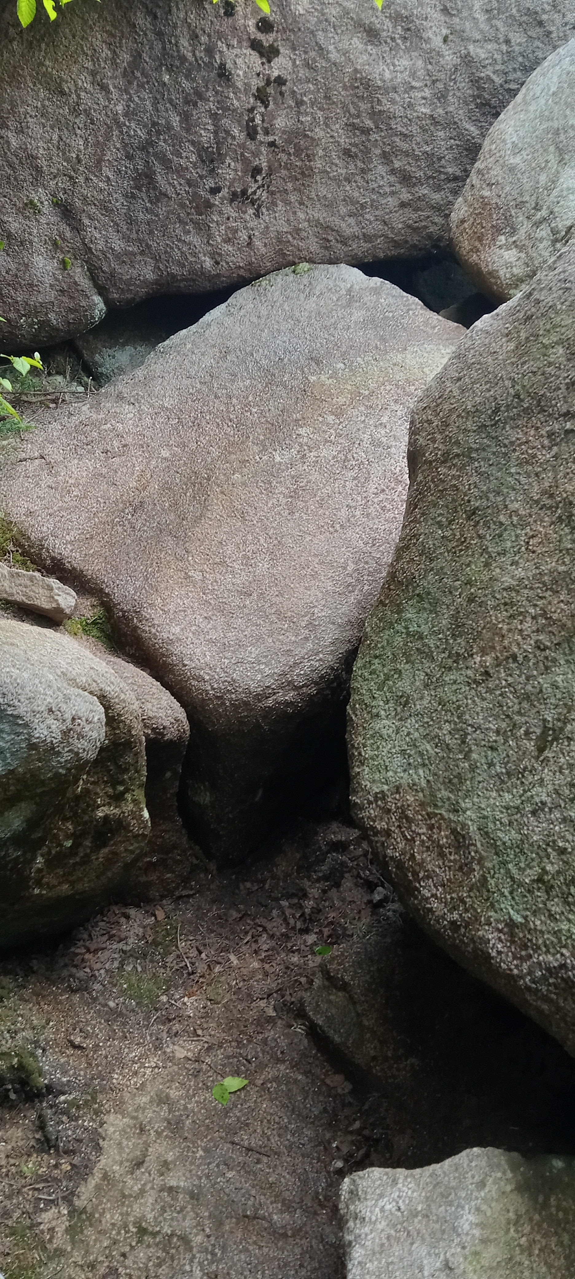
There is no scale to reveal that this is a 4-foot step-up, or down in my case. There were actually 3 places where the trail was so vertical 5 to 8' that there were steel pegs inserted into the boulders as steps. I can't imagine getting to the end of the AT and doing this final stretch with a full pack. Without the steel pegs it would be rock climbing.
As I lost elevation and the afternoon sun droned on, I could feel the effects of the heat. Finally, I came to Katahdin Stream Falls. This a pool just below it.
There was certainly some feet ache, but more importantly I was feeling overheated. I think that I was sufficiently hydrated since I had drunk 3 L of water to this point, but I could feel the heat in my face and was feeling drained. Soaking my feet in this mountain stream restored me to a pleasant humor (1).
Katahdin Stream Falls (280')
The Appalachian Trail is called the Hunt Trail at this point. Several things mentioned in this post appear here.

I knew it before I descended the AT that I would have a 2-mile gravel walk back to my vehicle. The heat and fatigue, I just wasn't feelin' it. I thumbed a ride in the back of a pick-up truck, arriving back at my vehicle in minutes. On the ascent, even before I reached timberline, I had lost my hat off of my pack. I wore a spare shirt over my head most of the time alone above timberline. The sun can be brutal. When I arrived back at Abol Campground, I dutifully went to sign-out on the trail registry. There on a bench in the screened-in porch lay my hat. Some kind hiker had returned my hat. There are many times that God allows us to experience loss of various kinds for His glory and for our training, but there are other times that He carries us along, allowing no harm to befall us small or great. This was just one of those days. I think that I am reminded that He is a good Father on such days so that I may remember that He is a good Father on those harder days. He deserves the glory on all days. This was certainly memorable day for me.
1. This is intended to be a pun. Check out the archaic meaning of the word "humors".