Finding the beginning of the trail was challenging enough. All that marked it was a brown, fiberglass National Forest trail marker up on a bank by the road- no parking, little evidence of a trail, another unrelated sign drawing attention away from it. So, we took a 1 mile walk on a nearby gravel road, not finding it. We knew that if it could be found that it would have to be between the gravel road and a nearby turn. The trail was wholly unmaintained and its developers knew nothing of grading or switchbacks. Locals had provided occasional pieces of survey tape to mark difficult turns and plunges into thickets. We began to understand that the blazes are on the opposite side of trees from the way we were going. With a few trials and error and many assumptions, we threaded our way up the mountain. Between thickets the woods were very open and carpeted with wildflowers, all white.
The small, wild irises, or flags, are the state flower of Tennessee.
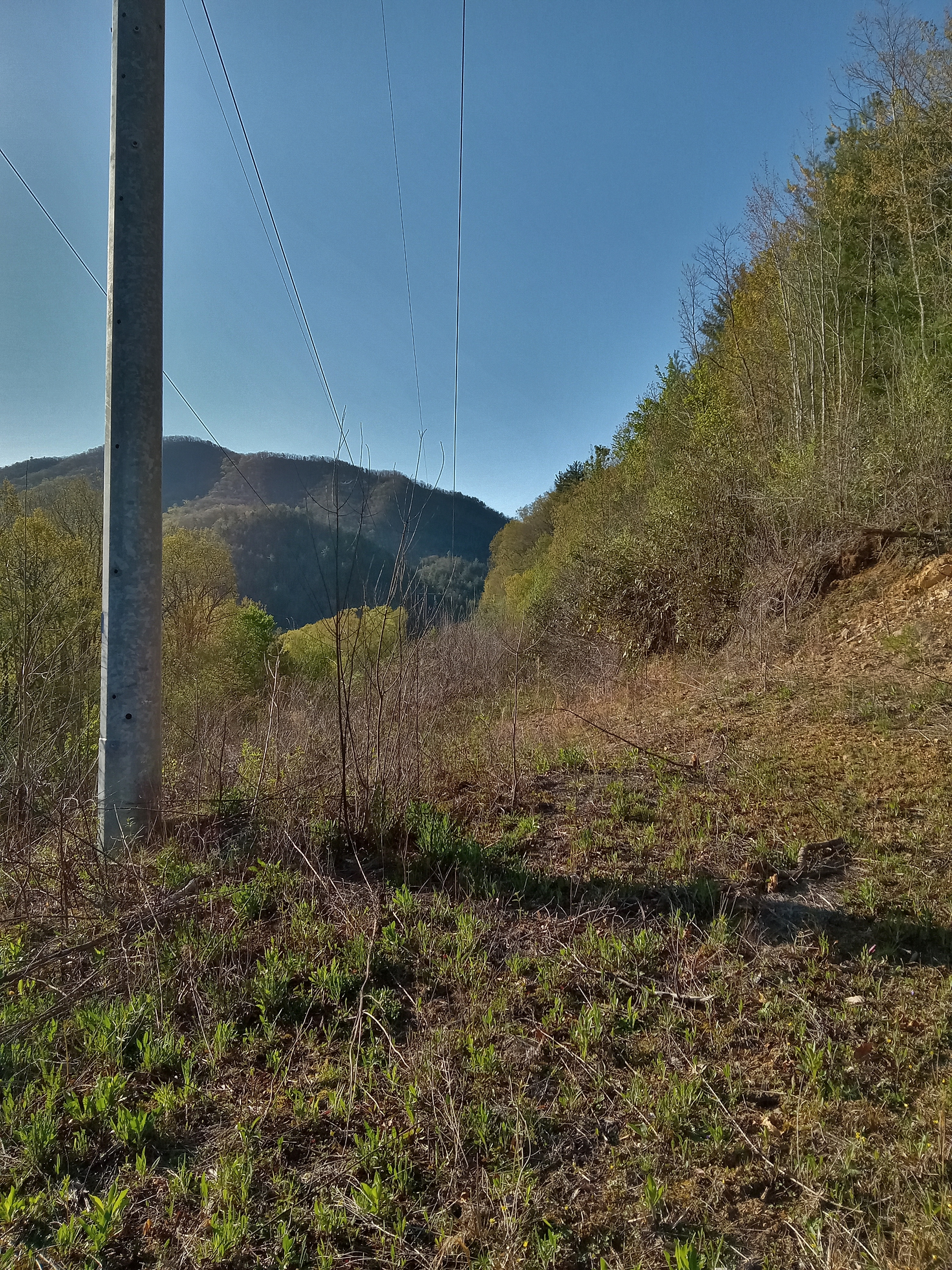
Power grid takes precedence over wilderness area, especially above a hydroelectric generation facility. It also provided decent views of the lake.
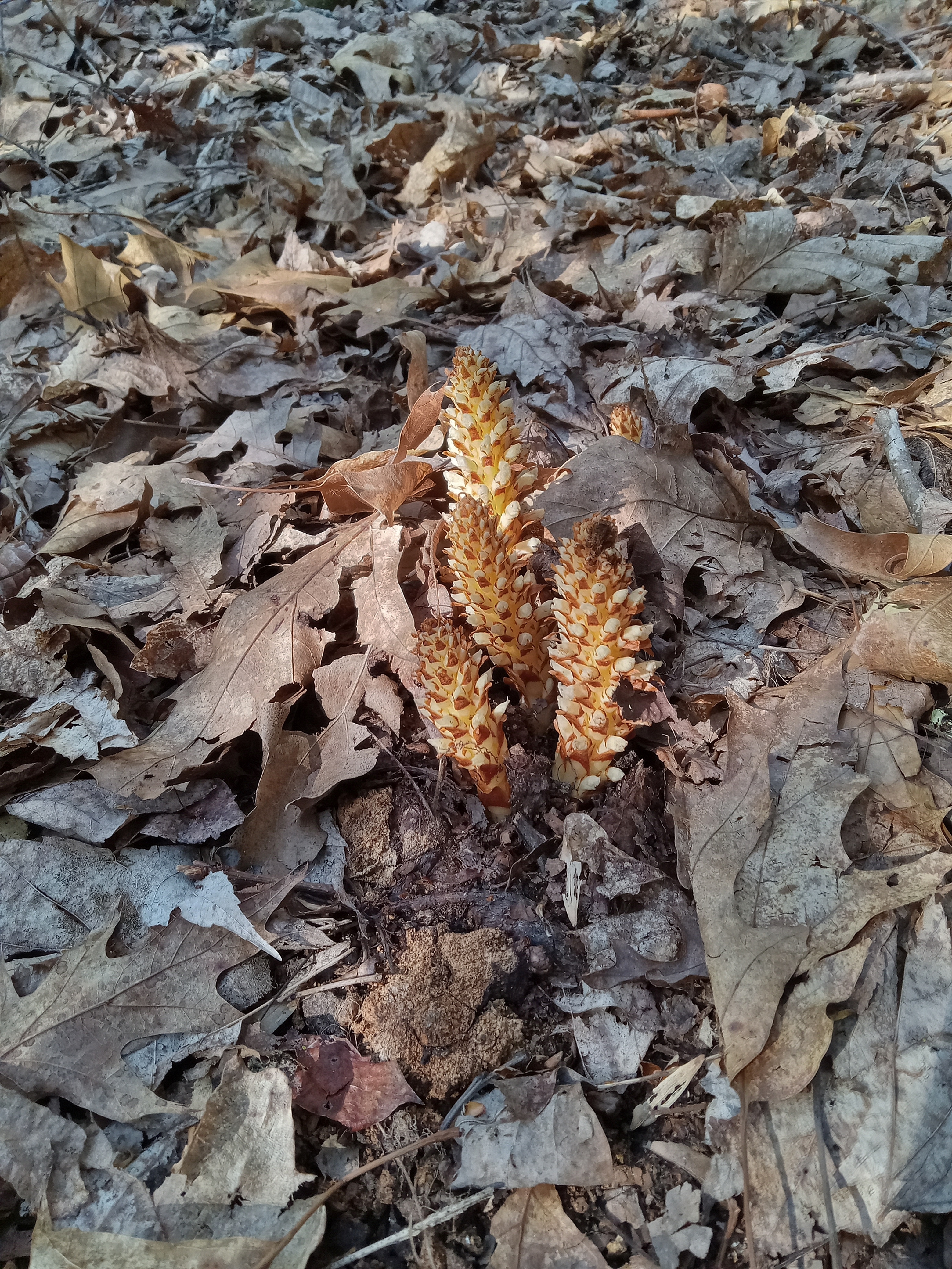
As best as I can discover, these are groundcones, a parasitic plant, not mushroom. I have seen them for years but did not know what they were. If I am mistaken, please inform me.
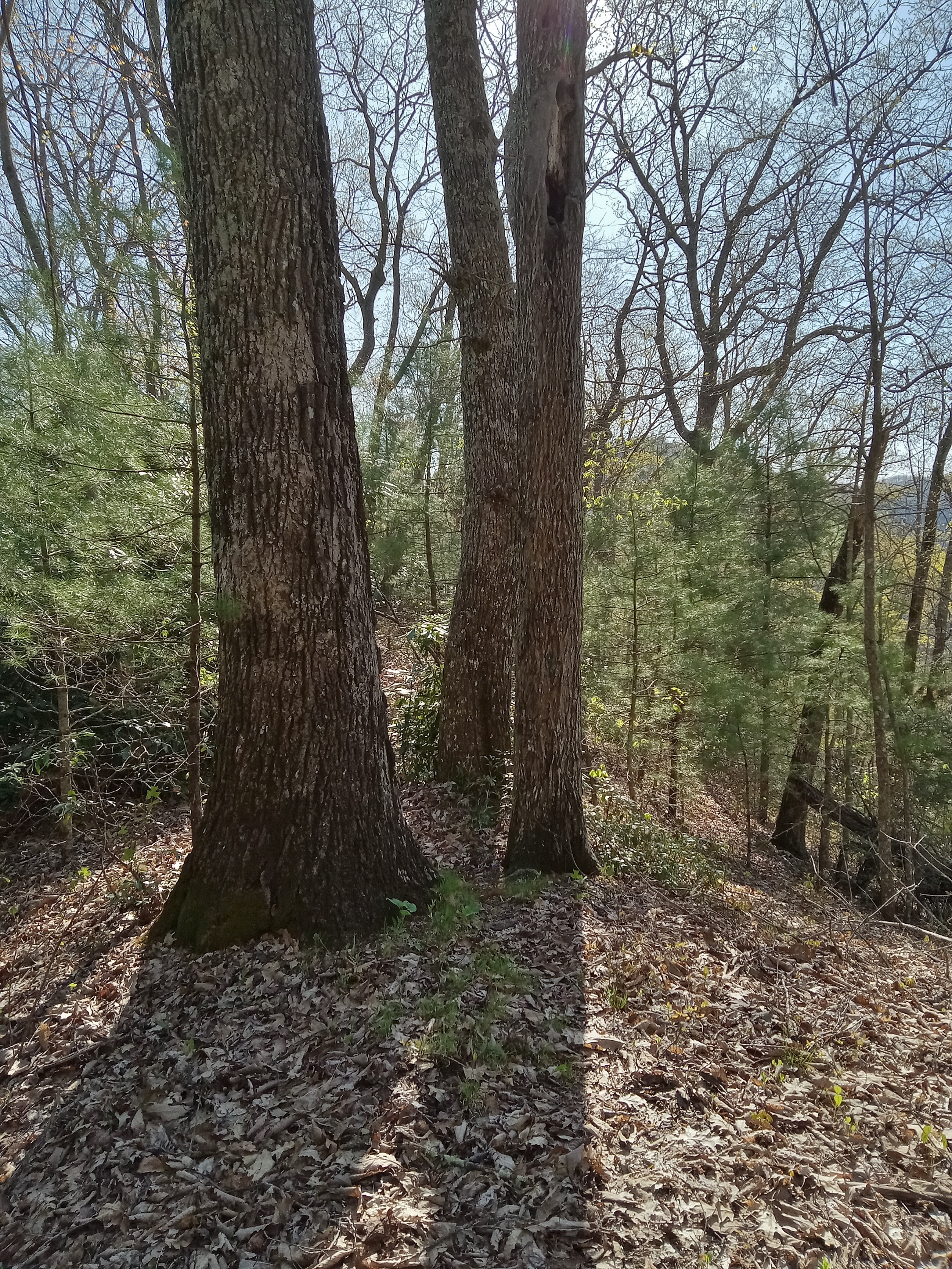
Despite all of the steep, brambled sections, there were also relatively flat, open areas. I took this picture of the tree barks, thinking that it would not come out well since it was backlit.
So, I moved about the same distance on the other side of the trees and tried again. It is amazing what difference lighting makes.
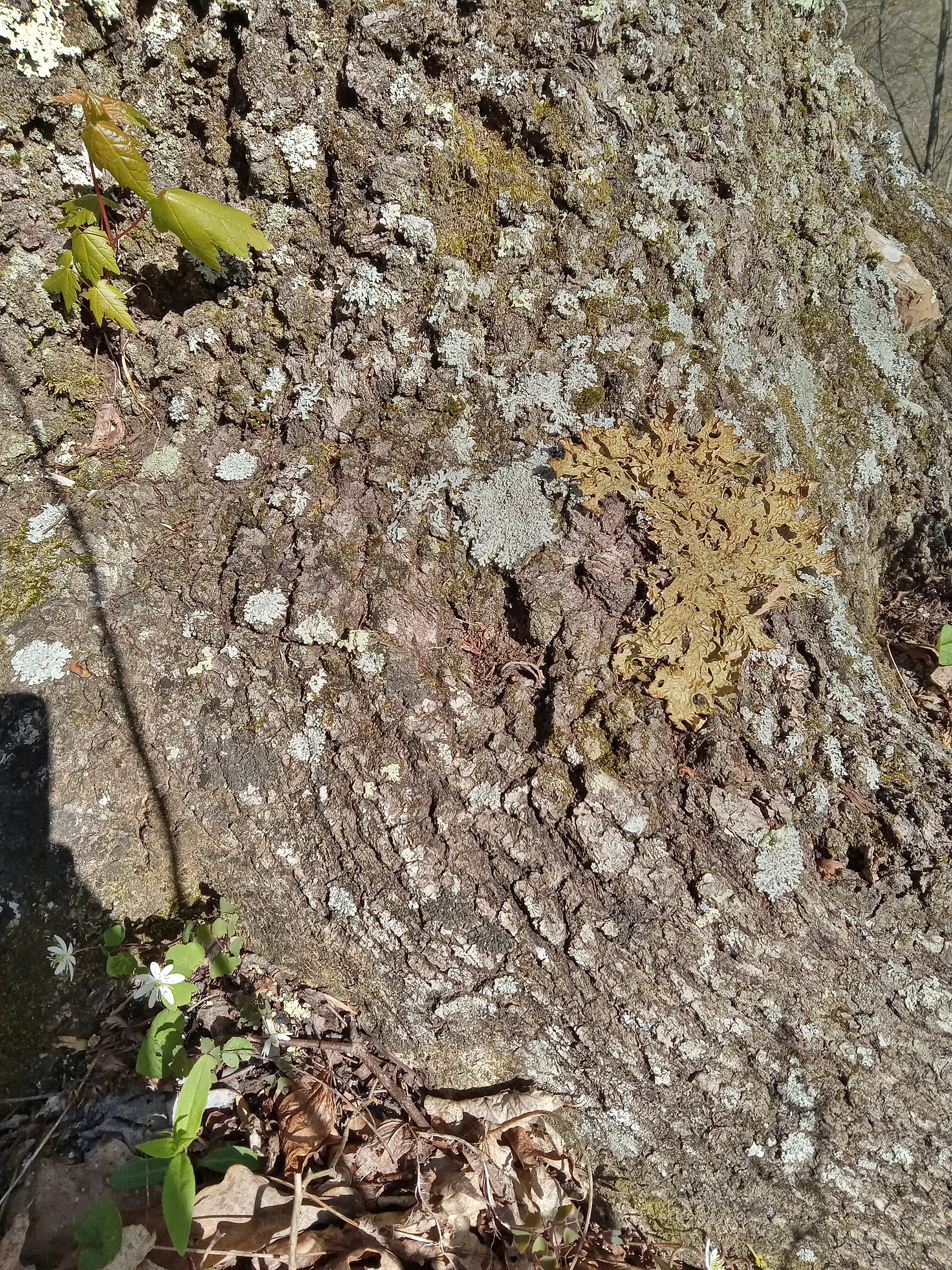
The Maple sprout, lichen, and aster at the base of this Black Oak tree appeared to be in less than ideal growing conditions but still making a go of it.
Clumps of moss grew here and there, not near a creek or other consistent moisture source.
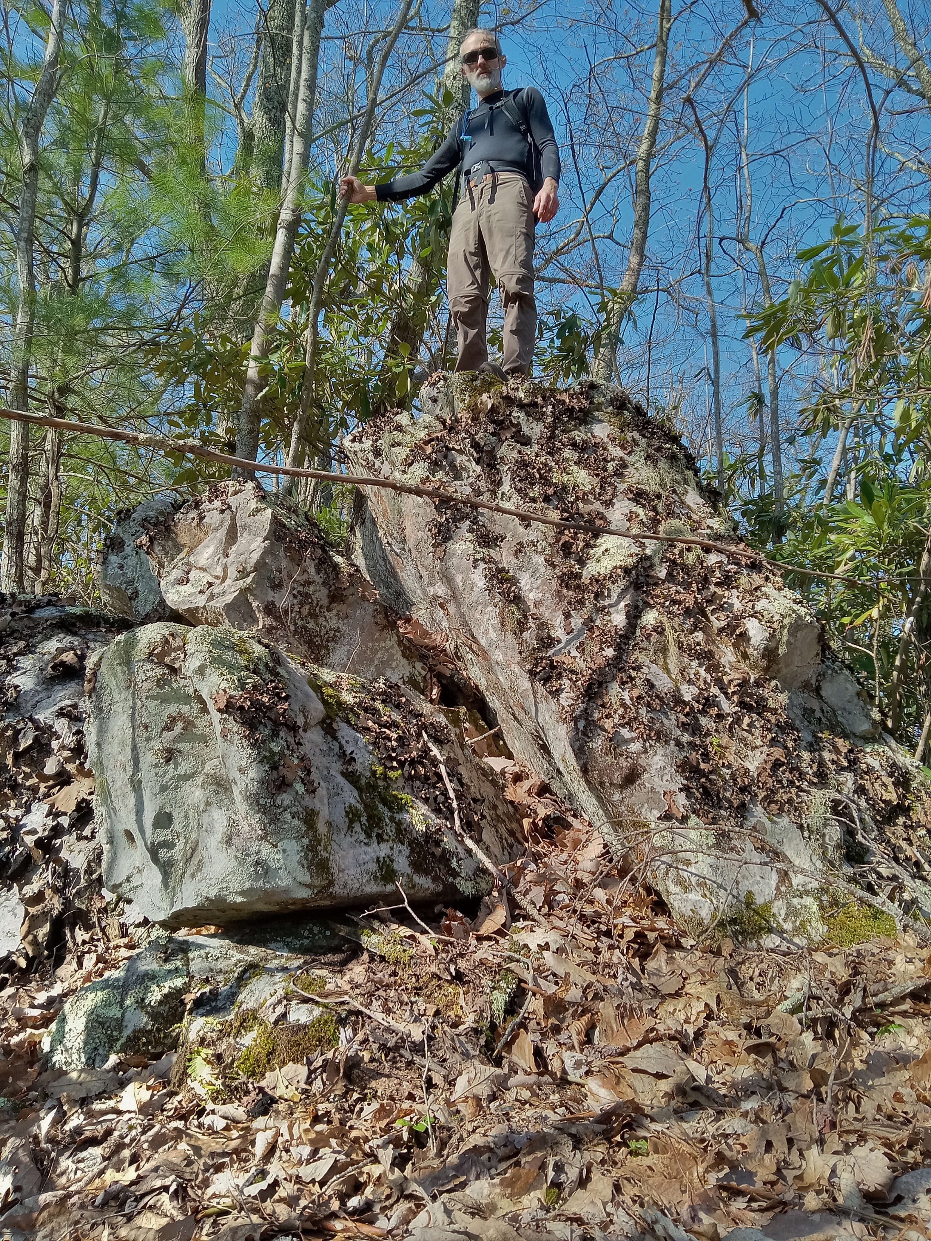
At one false peak about halfway up was a rock outcropping. Later in the day we would struggle over a long stretch of rock outcroppings to avoid rhododendron thickets. While I waited for my friend, I tried a timed picture.
When he arrived, I took one of him with his phone. His camera takes much better pictures, but having them texted to you loses a considerable amount in quality.
Without a SLR camera wildflowers are quite difficult to capture. The pictures mostly just give you the idea that wildflowers were abundant and varied.
There were many beauties along the way.
I had someone just today tell me that they had a red oak in their yard. "What kind?" I asked. "There are 8 to 10 species in this part of the state." This one from when this leaf fell is probably Black Oak.
Having left our vehicle at about 8:30, we reached the top of the ridge at around noon. As is my tradition, I take a picture of the benchmark with a hand in view. We hiked about 2 1/2 miles from Watauga Lake (elevation 1959') to the top of Pond Mountain (4329'), about a 2300' elevation gain. We were amazed at how good of shape this 1934 bronze benchmark is. Lack of people scoring it helps.
After the ridgetop we left the trail and followed the ridge for about 3 miles, successfully navigating the forks in the ridge that would have led us down into deep draws. The way was thick or rocky but sometimes open. Thankfully the open areas were just when we needed them to negotiate the splits in the ridge.
I saw several trillium with seed but only this one Painted Trillium with flower.
It is quite amazing the difference between what the eye sees and what the camera sees at times. To my eye these fungi were the brightest white.
A pair of flaming azaleas brightened the descent.
After crossing a surprisingly flat area we came to what we expected to be the Appalachian Trail. My friend asked it was. Just then a fully loaded backpack came gliding through the forest. "I think so," was my reply. The descent on a well-traveled and well graded trail was a cruise. We estimate that we hiked about 10 miles over some rough ground. The challenge, the weather, and the comradery were all good.
Between the two marks on this online map, you can see the off-trail part of the hike along the ridgetop.
Maps can be so deceiving. The blue "trail" at right-center barely exists and the terrain is much rougher than the contour lines suggest.
But if there was no challenge, we would have been disappointed or bored, and there ain't nobody got time for that. We were thankful to God for the beautiful day, challenging hike, and safe and successful traverse of the land we picked out.


No comments:
Post a Comment