Harper Creep Falls

Harper Creep Falls
Harper Creek Falls

Sunday, November 20, 2022

Bays Mountain Morning Hike

The Rafter of Turkeys: I see no less than 16 in the picture. Of course, I have the option of zooming in on the original.


First Ice of the Season. It is interesting how it forms in long bars across the surface of the water. Though very fragile, that makes for quite large crystals.


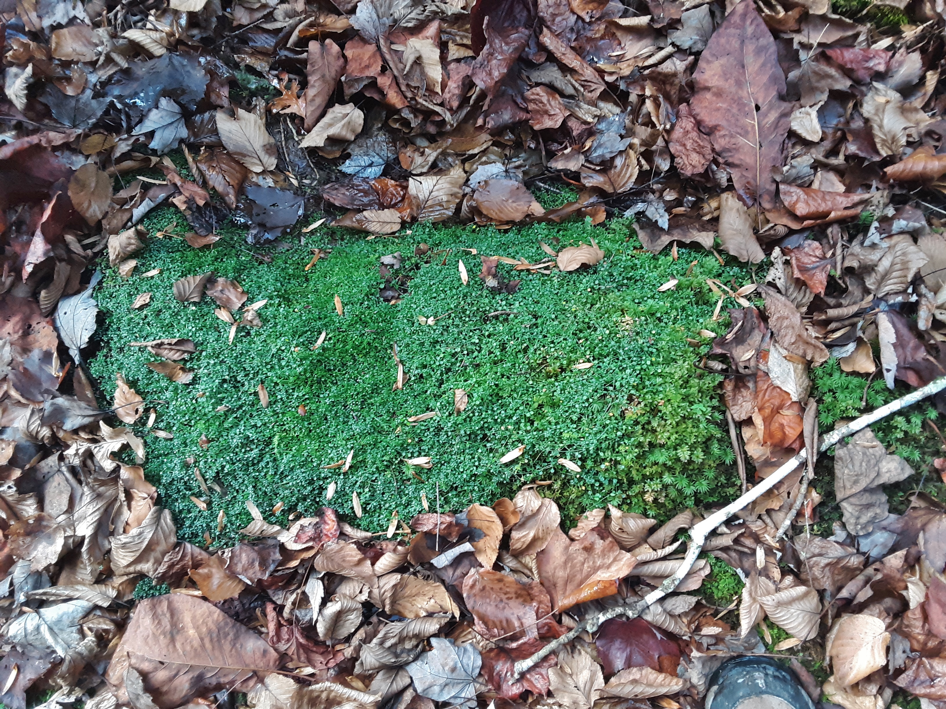
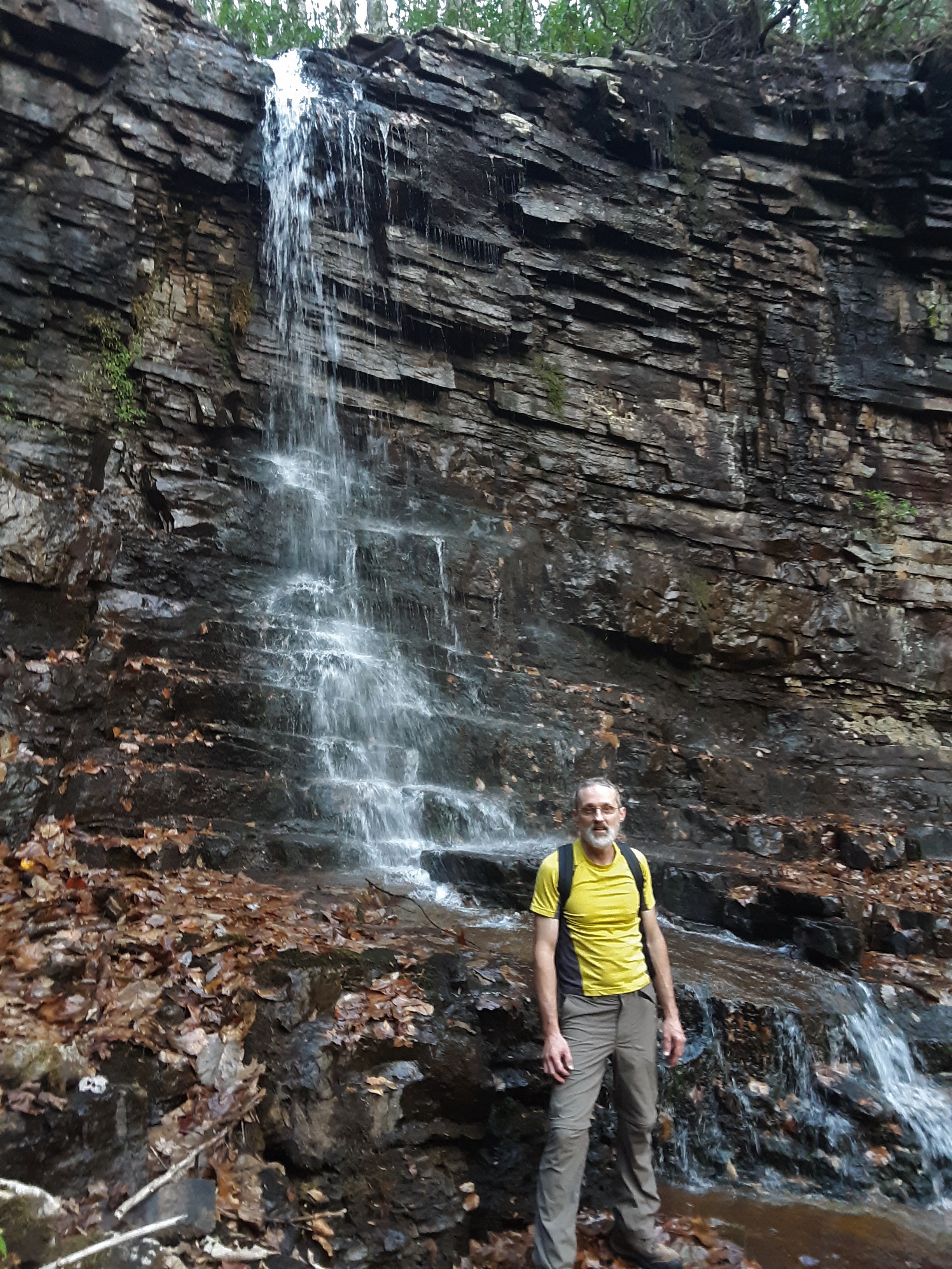
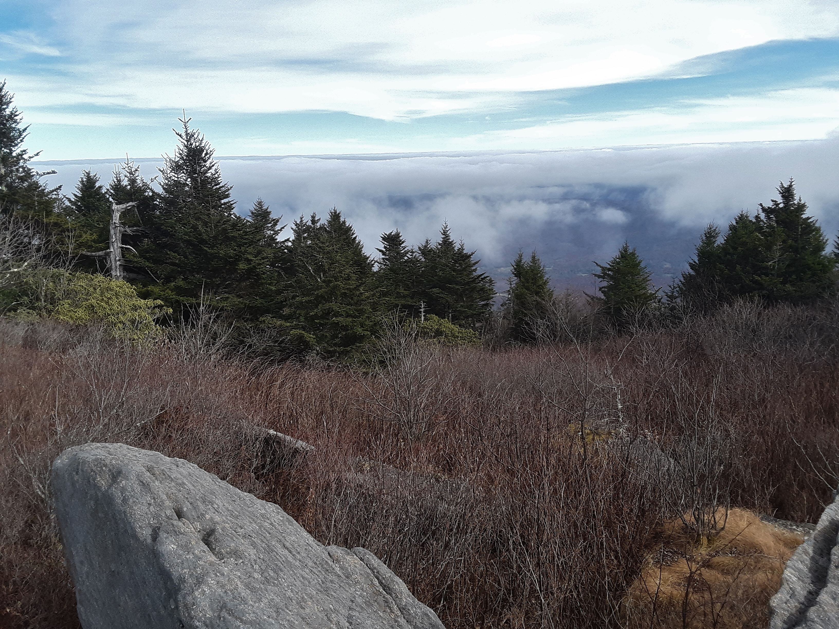
The lake between the ridges is fed by numerous small streams around its periphery. I guess that they decided to short cut the trail across the lake. There are most usually numerous waterfowl, but I guess the cold kept them huddling or else they have already flown south.


The woods were quite open on the way up with a predominance of Chestnut Oaks. Using GPS has its disadvantages. With a map you have a good idea of where you are going. With a GPS you have to constantly look at it to stay on track. We didn't at first and missed two turns, probably costing 30 minutes. The fire tower is almost hidden by the trees and certainly not an eyesore from further away.


It is not for lack of height though. I estimate this to be an 80' tower. I rock climb and am not nervous when I am tied in and have checked my gear but going up these steep steps with very open rails was a bit nerve wracking. The steps were in good shape, but a few boards on the landings caused me to step at their edges to prevent the possibility of falling through. I've seen worse.


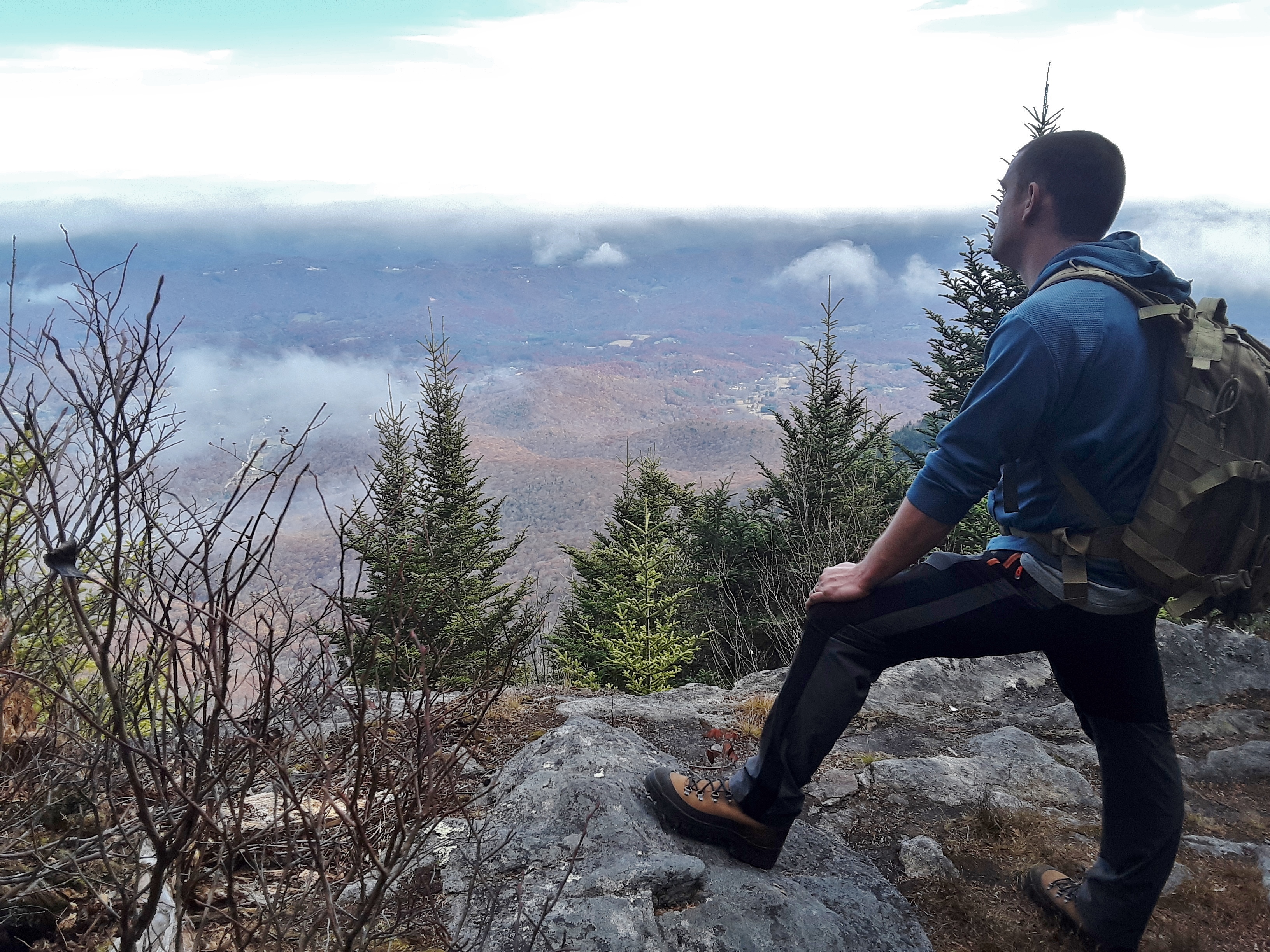
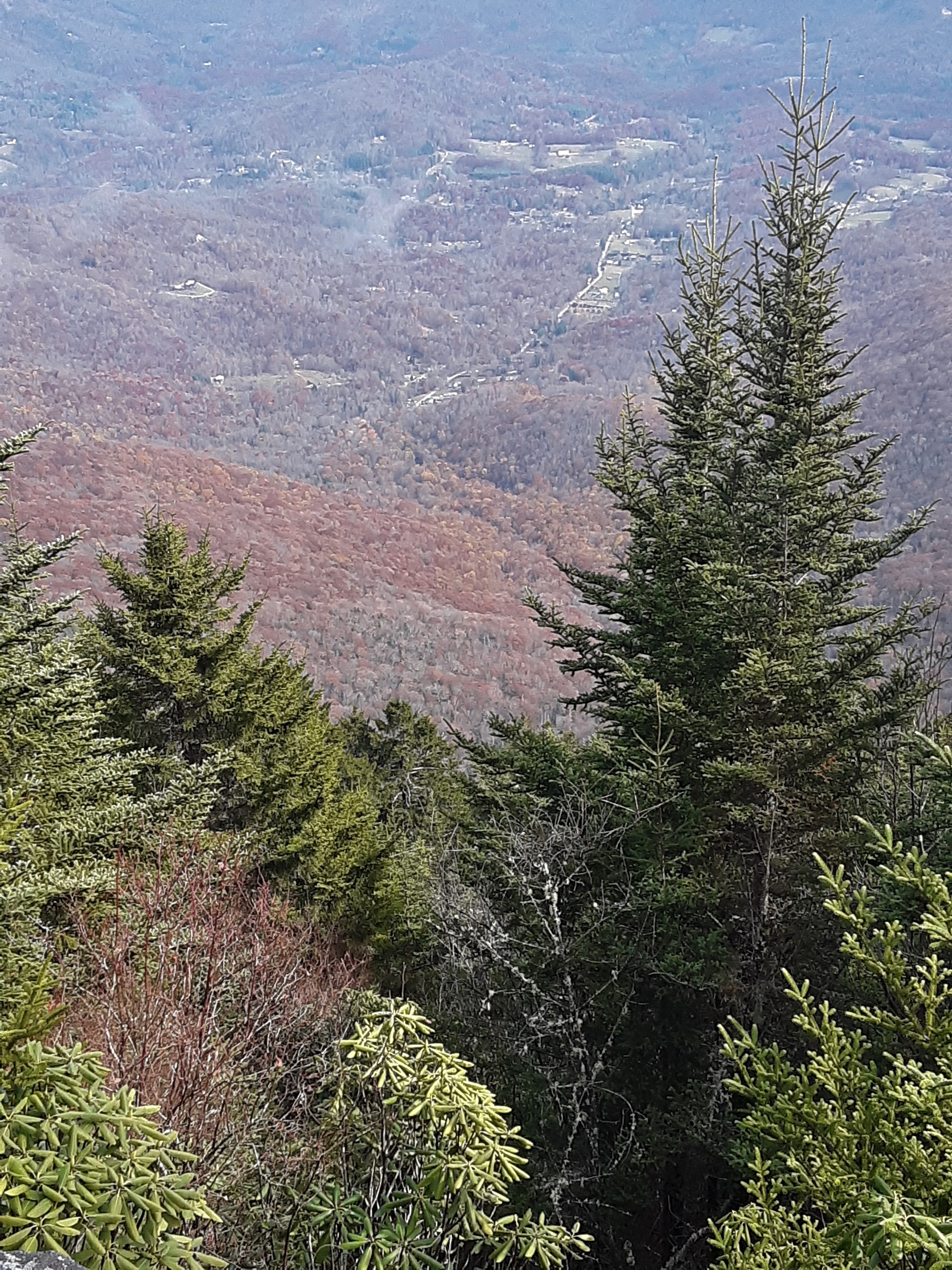
This is a northwesterly view along the ridge with the Holston River winding around the end and Eastman Chemical at the white plume of smoke.


The next two pictures show Holston Ordnance Works which was built by Eastman during WWII and still makes ammunition for the Army.


Looking westward you can see the river rounding the southwestern end of the mountain.


I frequently wonder what was going on during the biblical worldwide flood that caused this ridge just here in this orientation with its steeper northwest slope limiting the river to flow around it. The Ordnance Works and Chemical Plant appear to be on prime alluvial deposits that should be farmed rather than be industrialized. The whole of the Great Valley from the Shenandoah Valley to Lookout Mountain must have been a wrinkle in the crustal fabric during that catastrophic event.


I think that the highest peak to the left is Chimneytop Mountain in Greene County. I fouled up my pictures easterly by getting my fingers too near the lenses.


I mentioned the 1/2 hour side trips because my hiking partner was supposed to be home to go with his wife to dance class by 10:30. Just after we left the tower, he told me that he texted her to say he would be to late to go to class. I replied that it was all downhill or flat back to the car and that we should jog. We jogged intermittently most of the way back. He arrived at home at 10:40, on time with a bit of rush to get into his dancing shoes and out the door. I am always amazed how a few hours in the woods does me a world of good. We talked theology and nature, I contemplated geological history, we got a good workout, and we came home refreshed in spirit. I did stop one moment to snap a picture of the fresh beaver work. We passed one beaver dam. The park is quite the nature preserve. 


Saturday, November 12, 2022

Stoney Creek

Stoney Creek runs between two parallel ridges that range from 3600 to 4200 feet in elevation. At the upper, NE end is Cross Mountain that crosses between the two ridges and separates Stoney Creek from Shady Valley to the NE. At the gap on Cross Mtn is a parking area where TN91 crosses the Appalachian Trail. As my son and I discovered, this little section is an excellent Sunday afternoon stroll for the family, but everyone else was coming off the field a 3 PM when we started out. It was a lovely afternoon as you can see. Most of the cattle were in an adjacent pasture. 


The fences and gates were well kept for the bovine resident's security and keeping.


The views of Shady Valley and the mountains beyond were excellent.


After nearly a half a mile of fields, the trail crossed a fence into an open forest of mostly young-middle-aged hickories, oaks, and yellow poplar trees. After about 1/2 mile of this easy terrain, my son said, "I want to show you something. Let's go down here." We went to the left off of the trail along a gradually descending ridge, turning right after a few hundred yards to plunge down a steep slow into a deep draw. At the bottom was a leaf strewn, rock slick creek and rhododendron thicket. We came to the first waterfall, a cascade I'd call it, which you see my son descending.


The flow of water was minimal, but that didn't diminish the beauty or seclusion of the spot. We were somewhere along the upper reaches of Stoney Creek. We later determined that it must have been the North Fork, because of what we came upon next.


Moss covered is one thing, but this rock had splash zone flora.


There were some curious mixes of fern and ground cedar that I have not seen before, and the purple leaves were interesting. With their Autumn change and happenstance position surrounding a ground cedar stem, I thought that I had glanced a new species at first.


The second waterfall took much more effort and time than the first one but was well worth it. Here you see when it first came into sight after the need for a wide berth around the cliffs.


The slide my son is on below the falls is amazingly slick with leaves, algae, slope, and barely textured rock.


Perhaps it is 20 feet tall, but there was evidence that it could support some significant flow. We discussed the rock layers, limestone and shale mixed in.


We could not stay long. The light was getting dim. I told my son that I did not want to bushwhack along a slick creek in a rhododendron thick and briars in the dark even with headlamps. The only thing for it was to point straight up the opposite ridge 500' + in less than 1/2 mile to the Holston Mtn Trail. This is when I know that I am out of shape or getting old or both. We found mostly clear forest. The following picture shows the light conditions just after we reached the top. It was then that we realized how unmaintained this trail is. I very much wanted to get to the AT before the end of twilight. It was better than the rhododendron, slick creek below. All you have to do is stay on top of the ridge going in the right direction, in this case away from the sunset.


We arrived at the AT and Double Springs Shelter just in time to follow the more traveled and rock and log-lined trail. As we passed the shelter, a couple was cooking supper by headlamp. The Moon was near full, reflecting off of leaves and rocks sufficiently for us to not use our headlamps. It was very pleasant to amble back across the fields to the vehicle.


Pleasant all the way around- temperature, light and dark, field and forest, open and dense, slippery and well-traveled, shallow and steep sloped, easy and deep conversation- I was thankful to God for the short, intense time in the woods with my son. And I had been up Stoney Creek many a time in the past, but never so far up it as this time.


Thursday, November 3, 2022

Celo and Gibbs

 Our plan was to go as high on the gravel roads as gates and terrain would allow. In our Asian compacts, the roughness of ground limited us. In fact, we went further than we wanted to because the track was truly narrow with no place to turn around. Finally at a switchback we parked and began our hike, far below where we had intended to be. 


We were feeling energetic and the weather was good, so we started out on our adventure.
My daughter challenged her husband to stand on this old bridge, but he said that was crazy. She replied, "My dad is crazy enough to do it." So, I did. The log beams were fine for one or two people. I well imagine that it had supported mules pulling logs to the mill or ore to the processing plant at one time.


The buttress construction was traditional and had withstood many decades of stormwater in the scoured creek bed.


My daughter was impressed with the size of the Yellow Poplar shade leaves like the one in her left hand, which were larger than the Fraser Magnolia leaf in her in right hand. She is all smiles to be out in the woods hiking.


Creek just above the bridge


Up that same creek, we had heard dogs baying just moments before and then a shot. These local guys told us that their buddy had killed a bear. My son-in-law is observing with hands on hips. The little guy understood that I wanted to take a picture. He proudly held his toy gun up for me to see.


Obviously, a trail marker, but I don't know what trail it delineates. 


Looking south along the Black Mountain ridge


One thing the locals kept telling us to know we were on the right track was the upper grade. I did not understand what they meant until one said it had been a railroad grade just below the ridgetop. For that reason it was nearly level, but it ran some 600 feet below the ridge. I am guessing that it had been put there for logging the ridge and/or the mica, feldspar, lithium, and other minerals mined along this track. My youngest son was patient with our slow progress.


I was amazed at the extent of low, thick growth so high on the mountain. Why do trees not fill in the open spaces and grow to any height? Is it wind? Is it very poor soil from mine tailings? 


Celo Mountain ahead!


Finally, we reached the Black Mountain Crest Trail. It goes around most of the actual peaks, avoiding constant up and down along the ridge. The peaks are mostly little side trails or manways through the bushes.


The hiking couple, daughter and son-in-law


The Siblings


And here is the manway up to Celo. The rock outcropping ahead is part of the "path."


The view on top made you feel on top of the world, especially since many other places were shrouded in cloud cover.


My son is contemplative, as was I. I sang a verse of a hymn after the others left. Grandeur should always elicit praise, for God is a great Creator and kind Father.


I am happy and thankful to still be able to hike enthusiastically and enjoy the beauty yet again. These mountains are in my blood. I find comfort and joy in struggling up and down them and observing their various seasons and moods.


Some benchmarks can be a bit hard to find.


Another one reached


Had we come up the other side, the elevation gain from this road below was said to be over 3000'.


My son-in-law enjoys the woods, too.


Things have certainly changed since I started hiking in the mid-seventies. Hike along, call home to check in with the wife, continue on.


A snack break in the shade before bushwhacking to the next peak


We could not find the benchmark on Gibbs Mountain. It turns out that there is not one, because you can see them all at the USGS site (National Geodetic Survey Data Explorer (noaa.gov))


Best view from Gibbs


Shag carpet of moss


Celo Knob is what the peak is called, though the whole mountain is called Celo Mountain.


View from High Rocks


I was amazed at how much low, shrub growth there was as if recently fields.


You could tell by several of the gullies that water really rushes off the top of this mountain.


There was a 1/2 acre Ground Cedar patch in the woods, the largest I'd ever seen.


My son-in-law's GPS unit shows 9.26 miles and 3684 ft. elevation gain. I think that the stop time, and therefore the moving average speed, are bogus. 


The after hike supper was in a Mexican Restaurant. My family thought that I was crazy when I started gushing over the wooden walls. "It's Wormy Chestnut!" I said. That is rare and crazy expensive. "How do you know?" was the reply. The grain pattern, color, and wormholes are very distinctive.


Yet again, we enjoyed God's Creation and had but a bit of soreness and tiredness to show for it.